Zambia GeographyZambia's Geography, Location & Time Zone
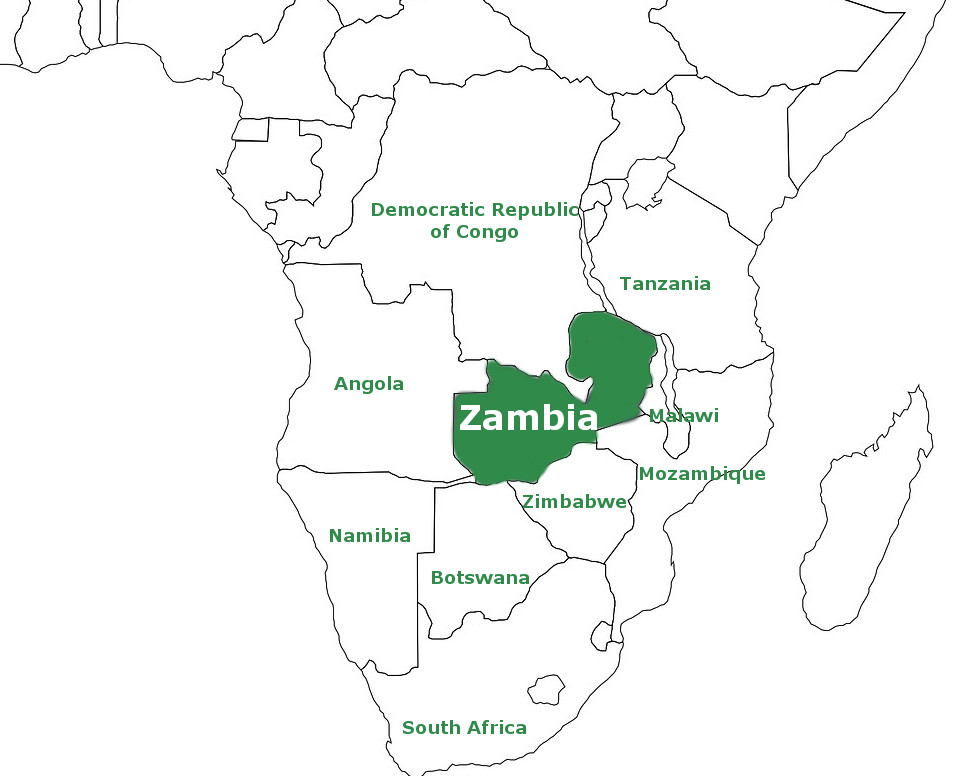
Zambia lies in a central position in southern Africa surrounded by quite a number of countries. It is a landlocked country between Angola in the west, Namibia, Botswana and Zimbabwe in the south, Mozambique, Malawi and Tanzania in the east, and the Democratic Republic of Congo in the north. Where is Zambia?Between 8 and 18° S, and 22 and 34°E.
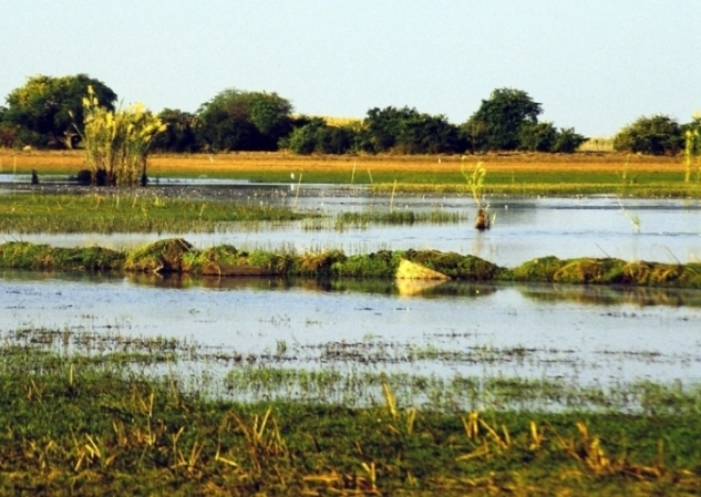
Map showing the location of Zambia in southern Africa Zambia GeographyZambia is 752,614 square kilometres (290,586 square miles) in size. It covers an area larger than the US state of Texas - actually the combined size of Texas, Maryland and Vermont, or the combination of the European countries Ukraine, Greece and Montenegro. This makes Zambia the 39th largest country in the world. The capital city of Zambia is Lusaka, located in the south central part of the country (470km from Livingstone town). The population as of the 2010 census is 1.7 million. Zambia sits mostly on a plateau with an average height of between 1000m and 1360m above sea level. The higher points of interest are the Mafinga Hills which are located by the border with Malawi in the east. Otherwise, Zambia is mostly quite flat with the occasional hills. Notable Geographical Destinations• Part of the headwaters of the Zaire Basin are the three notable natural lakes in northern Zambia - Bangweulu (comprising Lake Bangweulu, the Bangweulu Swamps and the Bangweulu Flats or floodplain), Mweru (located along the Congo river, and lying on the border with the Democratic Republic of Congo) and part of Lake Tanganyika (on the border with Tanzania and the DRC) with is the second deepest natural lake in the entire world.
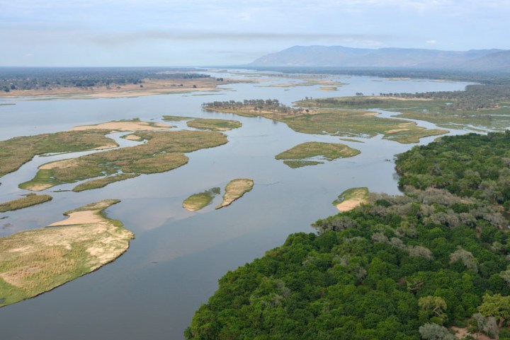
• In the Zambezi River basin, along the border with Zimbabwe in the south, Lake Kariba stretches for about 280 kilometres.
Zambia Map
Map showing Zambia's lakes, rivers, national parks, towns and cities
 Return from Zambia Geography page to our home page |
Follow!
  
|
||||||||||||||
|
|
|||||||||||||||
|
|
|||||||||||||||
|
| |||||||||||||||