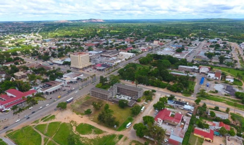
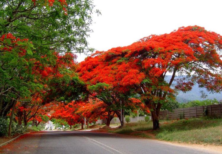
Pictures of ZimbabweZimbabwe has Many Different Faces...
|
|||||||||||||||||||
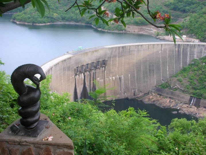
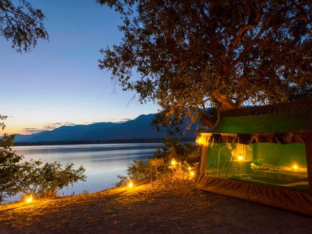
Lake KaribaKariba - is a favourite place for some relaxing on one of the many houseboats that can be hired to explore the islands, channels and vast expansions of water. The unforgettable scenes of the drowned trees and herds of buffalo and elephant that adorn the shores together with the orange and gold sunsets - will leave its impression on one forever. Home to many animals and birds the most favourite being the Fish Eagle who lonely cry can be heard through out the lake. Lake Kariba is home to many species of fish, with the Tiger fish being one of the most exciting fish to catch. The lights of the many kapenta rigs can be seen at night as they pull in ton after ton of the little sardine type fish that will be dried and salted and forms one of the main staple dishes of the local Zimbabwean. |
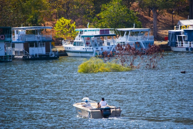
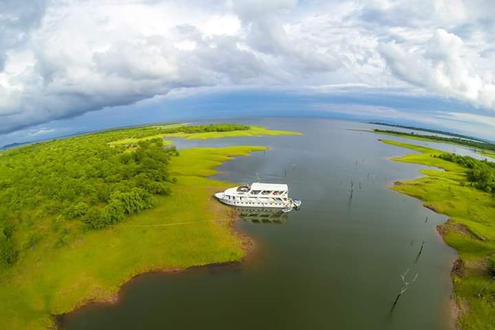
Houseboats on Lake Kariba

A view of the many dead trees that haunt Lake Kariba
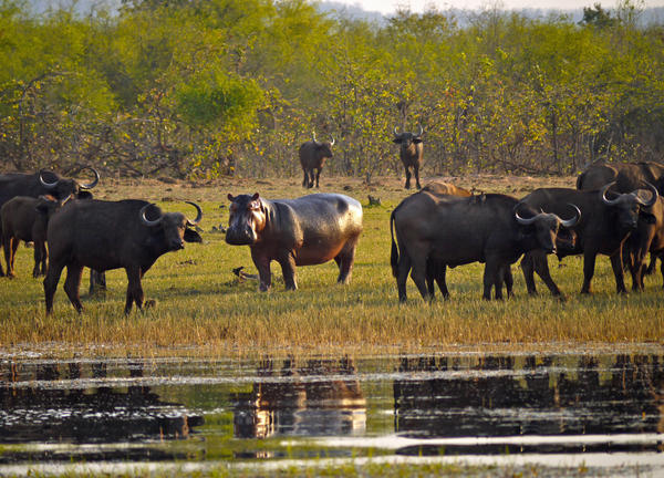
Buffalo and hippo on the shores of Lake Kariba
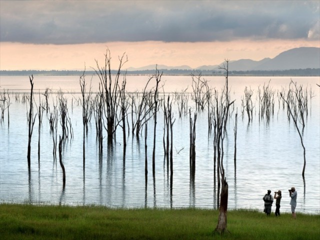
The haunting beauty of Lake Kariba's drowned forests
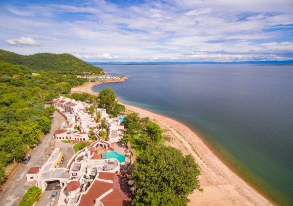
Caribbea Bay Resort on the shores of Lake Kariba
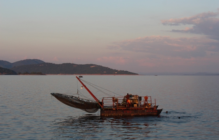
Kapenta fishing rig on Lake Kariba
The shores of Lake Kariba - appear as undisturbed Eden.
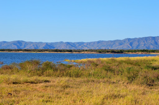
The far reaching shores of Lake Kariba with the Matusadona Mountains in the back ground.
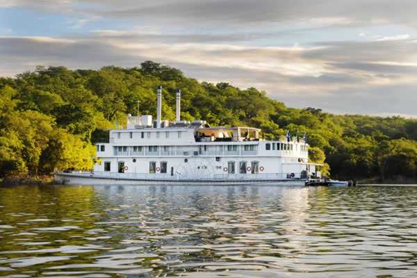
The Southern Bell the largest house boat on Lake Kariba
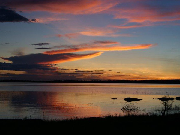
Dramatic Lake Kariba sunsets
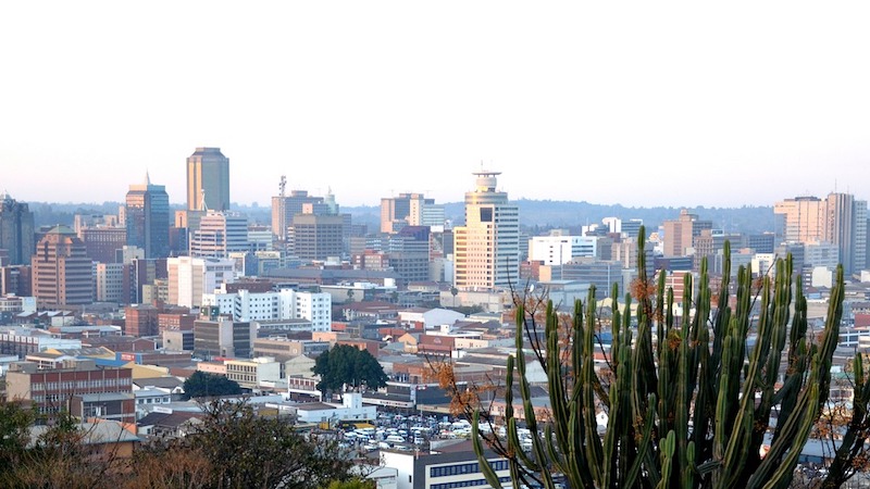
Pictures of Zimbabwe
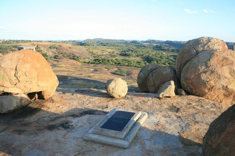
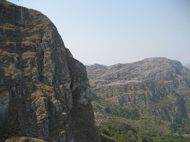
Matobo HillsThe Matobo Hills cover about 320 000ha and have been eroded from an exposed granite batholith thought to be over 3 000 million years old. Hump-backed domes have resulted from exfoliation of the granite often forming remarkable 'balancing rock' formations. The Matobo region is particularly well known for the number and quality of its Stone Age rock art site. |
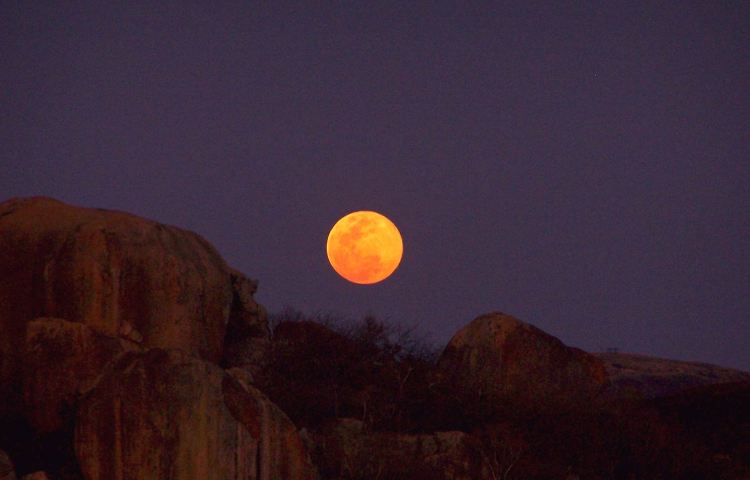
Moon rising over the Matobo Hills
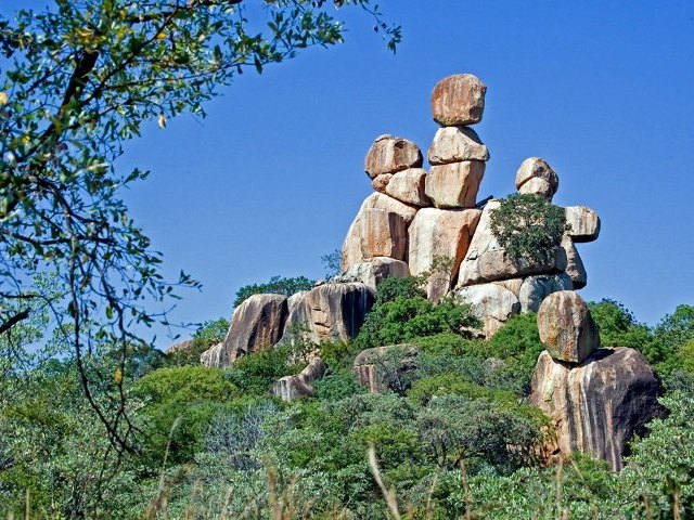
Natures fascinating rock sculptures adorn the Matobo Hills
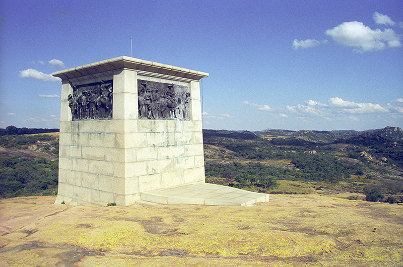
Cecil Rhodes raised this monument on top of World's view in the Matobo Hills in honour of Allan Wilson and the men who fell to the Ndebele at Shangani in 1893.
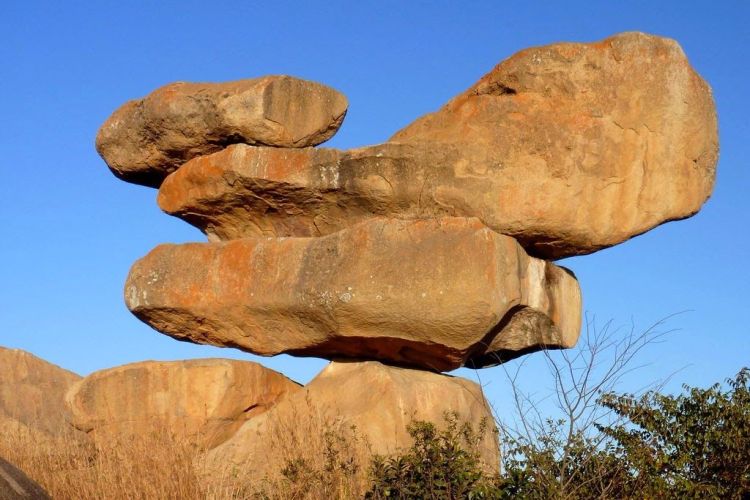
Balancing rocks are often seen in parts of Zimbabwe
Pictures of Zimbabwe
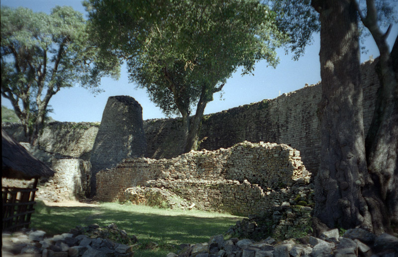
Great Zimbabwe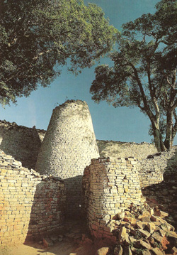
The site of Great Zimbabwe covers over 720ha and comprises mainly stone wall enclosures and areas of hut remains. The two main geographical areas of stone wall enclosures are ; the Hill Complex, on the long, steep-sided granite hill that rises 80m above the surrounding ground; and the land below this hill where the Valley Enclosures and the Great Enclosure are situated. The stone walls, up to 6m thick and 11m high, are built of granite blocks without the use of mortar. Natural granite boulders are often incorporated into a wall which usually follows a curved line. The purpose of the walls was primarily to enclose areas within which clay structures and smaller partition walls were constructed.
Great Zimbabwe's great enclosure with conical tower a shrine to both past and future. |
Pictures of Zimbabwe
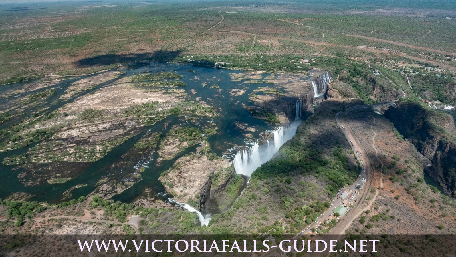
Victoria FallsThe Victoria Falls - one of the natural 7 wonders of the world. Victoria Falls town is on the southern bank of the Zambezi River with in walking distance to the spectacular Victoria Falls. It is now an important tourist centre, providing varied accommodation and adrenalin activities to many foreign and local tourists. |
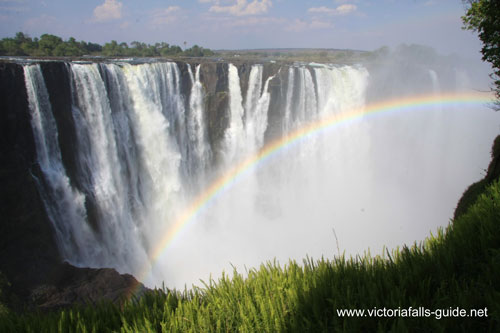
A rainbow at Victoria Falls a sight treasured by many people who have witnessed it.
Victoria Falls in its splendour

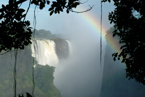
More rainbows to enjoy at Victoria Falls
Pictures of Zimbabwe
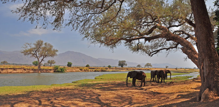
Mana Pools National ParkThe Mana Pools National Park is 219 600ha and forms part of the extensive middle Zambezi River valley wilderness complex stretching from Kariba Dam downstream to the Mozambique border. Widely recognised as one of the finest and least developed wildlife and wilderness parks in southern Africa. It has good numbers of most indigenous mammals and a wealth of birds species. |

One of the many seasonal ponds in Mana Pools National Park
The peaceful Zambezi River seen flowing past Mana Pools
The unforgettable Mana Pools
Pictures of Zimbabwe
Nyanga National ParkThe Nyanga National Park lies at the northern end of Zimbabwe's Eastern Highlands. It is well watered by numerous streams and rivers and holds a number of exotic pine forests. The park is dominated by Mount Inyangani which lies at its north-eastern extremity and is the highest mountain in Zimbabwe at 2 592M. The Pungwe River rises at the foot of the mountain and flows southwards through the park before dropping 240m into the densely wooded Pungwe Gorge. The Mtarazi Falls, a few kilometres south of the Pungwe Gorge, have a 762m drop and thus are Zimbabwe's highest waterfall. |

Worlds View Nyanga Mountains in the Eastern Highlands
Granite out crops in the Chimanimani Mountains
Pictures of Zimbabwe
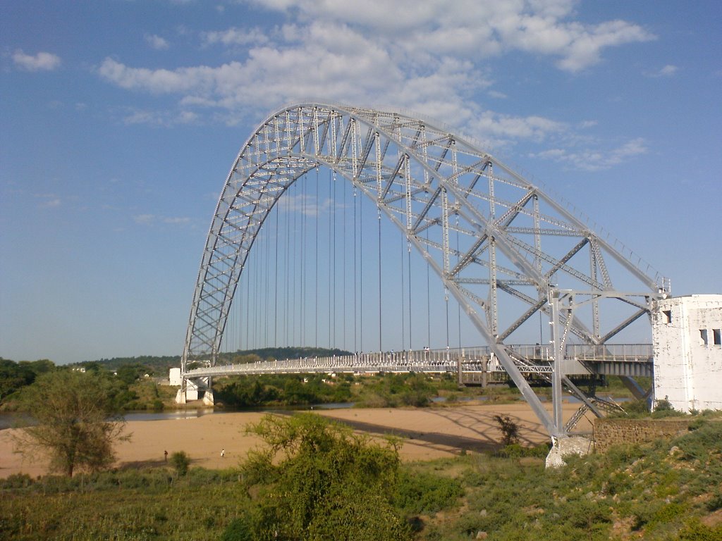
Birchenough BridgeBirchenough Bridge spans the wide meandering reaches of the Save River and links the road to Mutare and Masvingo |
Pictures of Zimbabwe
The People....The largest of the indigenous communities are the Shona and secondly the Ndebele. Others communities are the Tongo people of the Zambezi Valley, most of whom were displaced and resettled when Lake Kariba was formed, the Sotho, the Hlengwe of the south, and the Vendao, a small group of hunter-gathers. |

A cheerful tea picker

The jazz band from Prince Edward High School

Bath time in a bucket |

Smiling youngster |
|
Bath time in a bucket |
|
Smiling youngster |
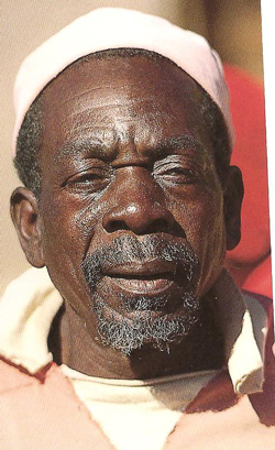
An old man |

A smiling young girl |
|
An old man |
|
A smiling young girl |

A market in Zimbabwe

Bath time in a local village
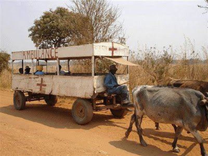
Hard times are seen around the country
Pictures of Zimbabwe
The Sport...

Zimbabwe cricket team celebrating a win.

Kirsty Coventry (Swimming) a Zimbabwe heroine with three medals at the 2004 Summer Olympics in Athens and another 4 medals in the 2008 Summer Olympics in Beijing.
Unique Pictures of Zimbabwe.....
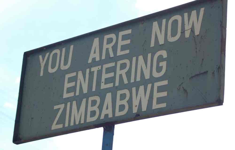
The signs

The currency
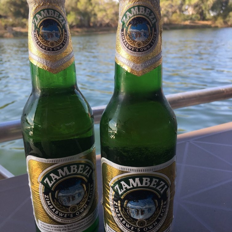
The local beer

|
Useful Links Information about ZimbabweFacts & History Zimbabwe Culture Zimbabwe News Zimbabwe Books Game Parks Map of Zimbabwe |

[Return from Pictures of Zimbabwe to our Victoria Falls home page]